
Burial Site & Cemetery Location
Identify and prioritize possible burial locations using ancestral property maps, cemetery and burial records, oral history, local context, and geospatial analysis.
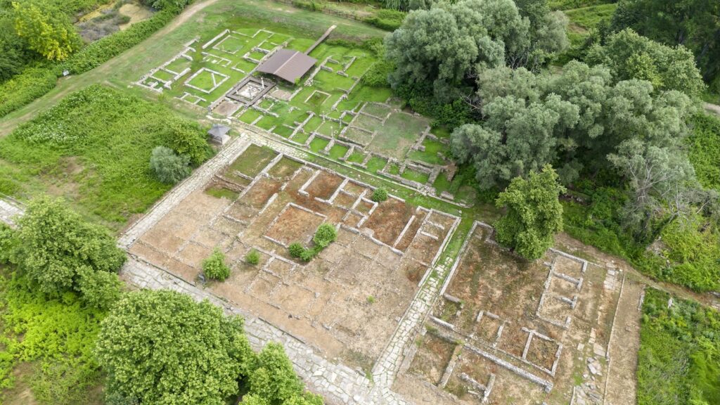
Turn Ancestral Clues Into a Searchable Location
Burial locations may survive only as family memory, a place-name, a notation on an old property plan, or a faint connection across several records. We organize those clues, compare historical and modern geography, and identify evidence-supported search areas for responsible follow-up.
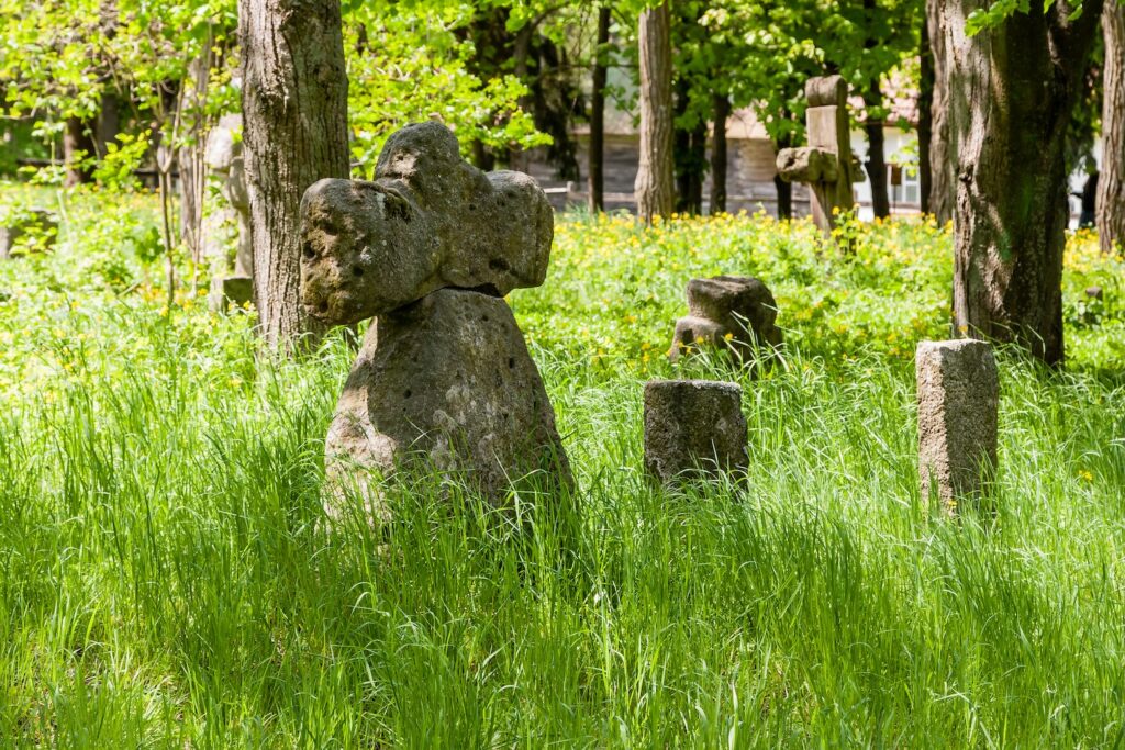
Multi-Source Review
Records, maps, and oral history
Map Correlation
Ancestral parcels and modern geography
Field-Ready Findings
Prioritized areas, coordinates, and notes
Our Burial-Site Research Process
1. Gather People & Place Clues
We collect names, dates, family stories, cemetery references, property descriptions, landmarks, photographs, and known map clues.
2. Correlate Records & Maps
We compare burial and cemetery records, ancestral property maps, genealogy, deeds, historical imagery, oral history, and current location data.
3. Prioritize Search Areas
We rank possible locations by evidence strength and deliver a map-based search plan with uncertainties, access considerations, and recommended follow-up.
Burial-Site Research Capabilities
Ancestral Property Map Review
Examine old property plans, deeds, family parcels, landmarks, and neighboring features for burial-related clues.
Cemetery & Burial Record Search
Search available registers, obituaries, church records, memorial data, archival references, and related family evidence.
Geospatial Search Planning
Translate evidence into prioritized search zones, coordinates, annotated maps, and practical field notes.
Common Burial-Site Research Questions
What information do you need to begin?
Share the person’s name, approximate death date, family relationships, island or locality, church or cemetery associations, ancestral property information, oral history, and any maps, deeds, photographs, or landmarks.
Can you guarantee a burial location?
No. Evidence quality varies, and some sites cannot be resolved remotely. We identify and rank plausible locations, explain the supporting evidence, and state uncertainty clearly.
Does the research include excavation or site access?
The standard service is research and map-based search planning. Any fieldwork, access, excavation, or ground disturbance requires a separate scope and appropriate landowner, cemetery, governmental, cultural, and legal permissions.
