
Mapping & Geospatial Analysis
Turn complex location, parcel, and historical map data into clear visual evidence for research, planning, and fieldwork.
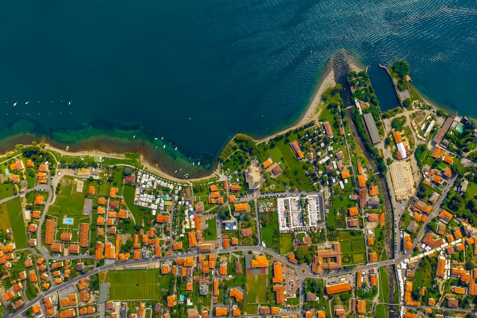
See How People, Property & Place Connect
Maps can reveal relationships that remain hidden in written records. We combine historical plans, modern parcel information, GIS layers, coordinates, aerial context, and research findings to compare change over time and communicate location-based evidence clearly.
Historical Context
Then-and-now map comparison
Parcel Intelligence
Boundaries, ownership, and location
Field-Ready Outputs
Clear maps, coordinates, and notes
Our Mapping & Geospatial Process
1. Define the Geography
We establish the area, scale, time periods, source coordinate systems, and the practical question the map must answer.
2. Assemble Spatial Evidence
We gather and align available parcel data, historical maps, imagery, coordinates, and research records while documenting limitations.
3. Analyze & Present
We compare patterns, create clear overlays or custom maps, and explain what the spatial evidence supports, suggests, or leaves unresolved.
Geospatial Research Capabilities
Historical-to-Modern Overlays
Align older maps or plans with current imagery and parcel context to visualize continuity, change, and uncertainty.
Parcel & Location Mapping
Map property references, boundaries, neighboring parcels, landmarks, coordinates, and related research evidence.
Research-Driven Field Maps
Create practical location outputs that support site visits, archival follow-up, community interviews, or additional field investigation.
Common Mapping & Geospatial Questions
What information can you map?
We can work with available historical maps, plans, surveys, parcel references, deeds, coordinates, imagery, cemetery information, field notes, and research records, subject to source quality and access.
Are your maps legal surveys?
Depending on scope, deliverables may include annotated maps, overlays, coordinates, source notes, a written interpretation, uncertainty statements, and files prepared for screen, print, or field use.
What will the deliverables include?
Depending on scope, deliverables may include annotated maps, overlays, coordinates, source notes, a written interpretation, uncertainty statements, and files prepared for screen, print, or field use.
